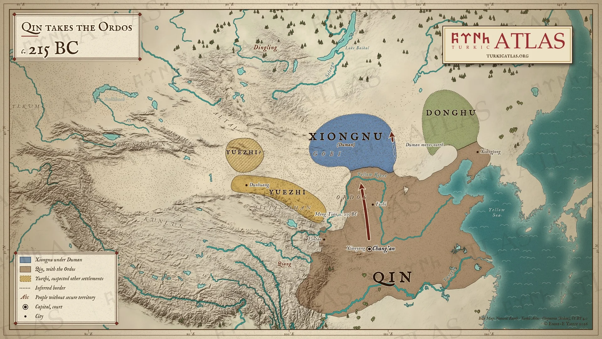
And beyond the steppe
- China Qin Shi Huangdi 221 BC–210 BC · Er Shi 210 BC–207 BC
Eastern steppe
-
Technology · The Xiongnu appear with the full panoply of the steppe warrior: compound bow, whistling arrows, swords, lances and maces
Main design
Colours

Years · 3rd century BC
Year of the hare tavışgan yıl
1 entry in Eastern steppe.
Technology · The Xiongnu appear with the full panoply of the steppe warrior: compound bow, whistling arrows, swords, lances and maces
This page opens with the release of the atlas.
Back to the open articlesHi, I'm Yolluk. Lost in the steppe? Click on me any time, and I will show you the way.


Hi, I'm Yolluk.
For example: Who was Bumin? or: maps