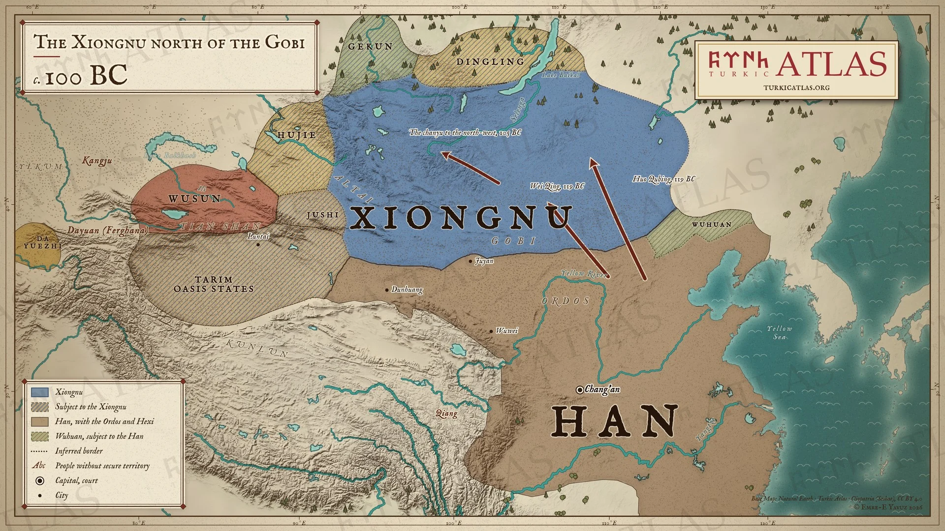
誰が治めていたか
- Han dynasty Emperor Wu of Han 紀元前141–紀元前87
- Xiongnu Qiedihou Chanyu 紀元前101–紀元前96
草原の外では
- 中国 Western Han Emperor Wu 紀元前141–紀元前87
東方草原
-
且鞮侯単于が降伏しなかった漢の使者を帰し、漢は蘇武に厚い贈り物を持たせて送るが、単于はますます驕る
基本デザイン
色合い

年 · 紀元前1世紀
蛇の年 yılan yıl
1件。舞台は東方草原。
このページとメニューは日本語です。項目の一部は日本語でもお読みいただけます。残りは英語で、その旨を表示します。
且鞮侯単于が降伏しなかった漢の使者を帰し、漢は蘇武に厚い贈り物を持たせて送るが、単于はますます驕る
このページは、アトラスの公開と同時に開きます。
公開中の項目に戻るこんにちは、ヨッルクです。 草原で迷いましたか。いつでも私をクリックしてください。道をご案内します。


こんにちは、ヨッルクです。
例:ブミンとは誰ですか? または:地図