
Atlas · Plate XXXVIII
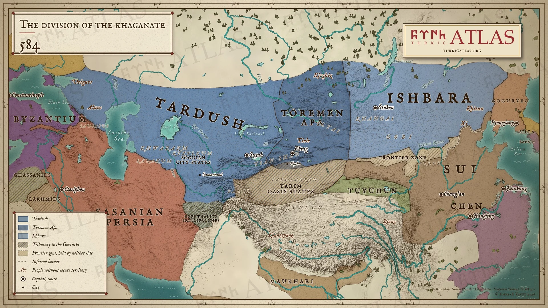
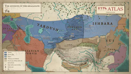
The division of the khaganate
584
 © Emre-E Yavuz 2026
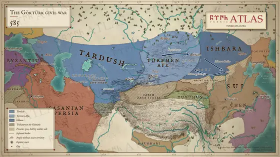
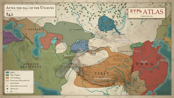
The Göktürk realm in 584, when the civil war broke out: Tardush in the west, Töremen Apa in the middle and Ishbara in the east, beside the Sui, the Chen, Sasanian Persia and the Eastern Roman Empire. Between the steppe and China stand the wall of the Northern Qi (556) and a frontier zone held by neither side. Modern map; the zones are approximate.
The arrow keys turn the plates.
Articles with this map
Years
Plate XXXVIII · The division of the khaganate 584
Drag to move. Wheel, two fingers or a double click to zoom.
-
 I
-
 II
-
 III
-
 IV
-
 V
-
 VI
-
 VII
-
 VIII
-
 IX
-
 X
-
 XI
-
 XII
-
 XIII
-
 XIV
-
 XV
-
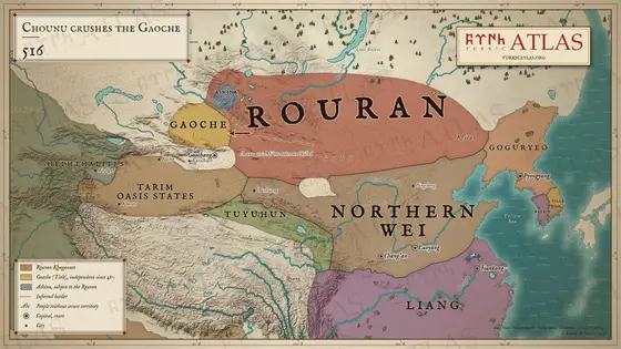 XVI
-
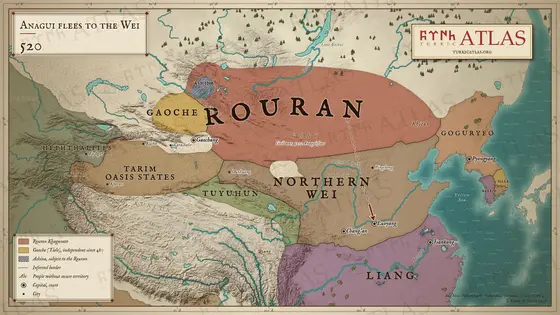 XVII
-
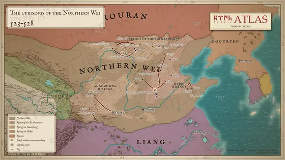 XVIII
-
 XIX
-
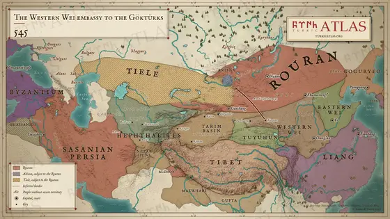 XX
-
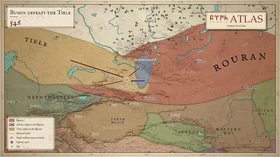 XXI
-
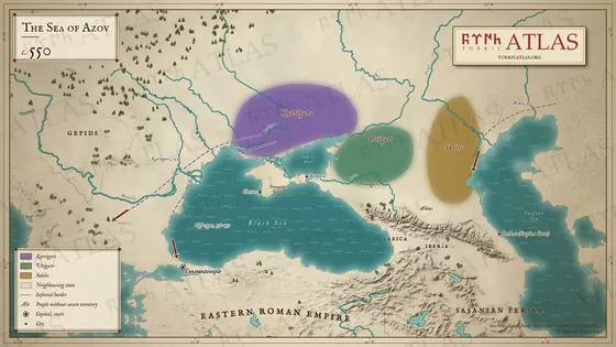 XXII
-
 XXIII
-
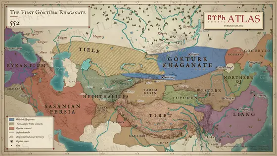 XXIV
-
 XXV
-
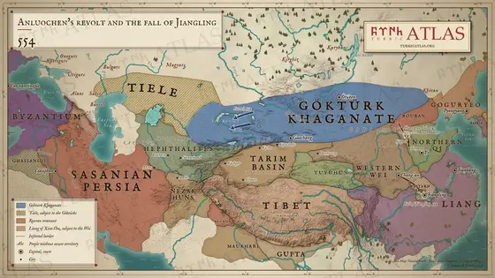 XXVI
-
 XXVII
-
 XXVIII
-
 XXIX
-
 XXX
-
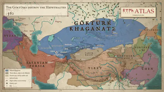 XXXI
-
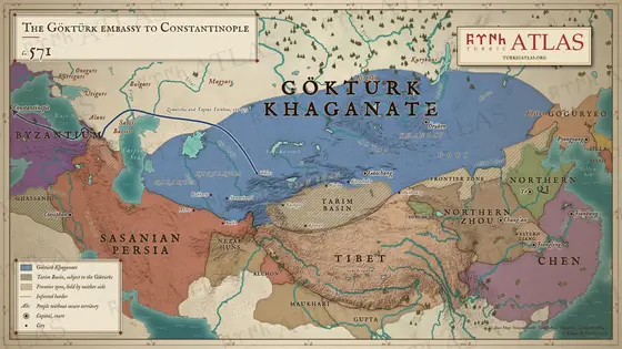 XXXII
-
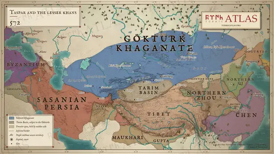 XXXIII
-
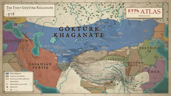 XXXIV
-
 XXXV
-
 XXXVI
-
 XXXVII
-
 XXXVIII
-
 XXXIX
-
 XL
-
 XLI
-
 XLII
-
 XLIII
-
 XLIV
-
 XLV
-
 XLVI
-
 XLVII
-
 XLVIII
-
 XLIX
-
 L
-
 LI
-
 LII
-
 LIII
-
 LIV
-
 LV
-
 LVI
-
 LVII
-
 LVIII
-
 LIX
-
 LX
-
 LXI
-
 LXII
-
 LXIII
-
 LXIV
-
 LXV
-
 LXVI
-
 LXVII
-
 LXVIII

