
Atlas · Lámina III
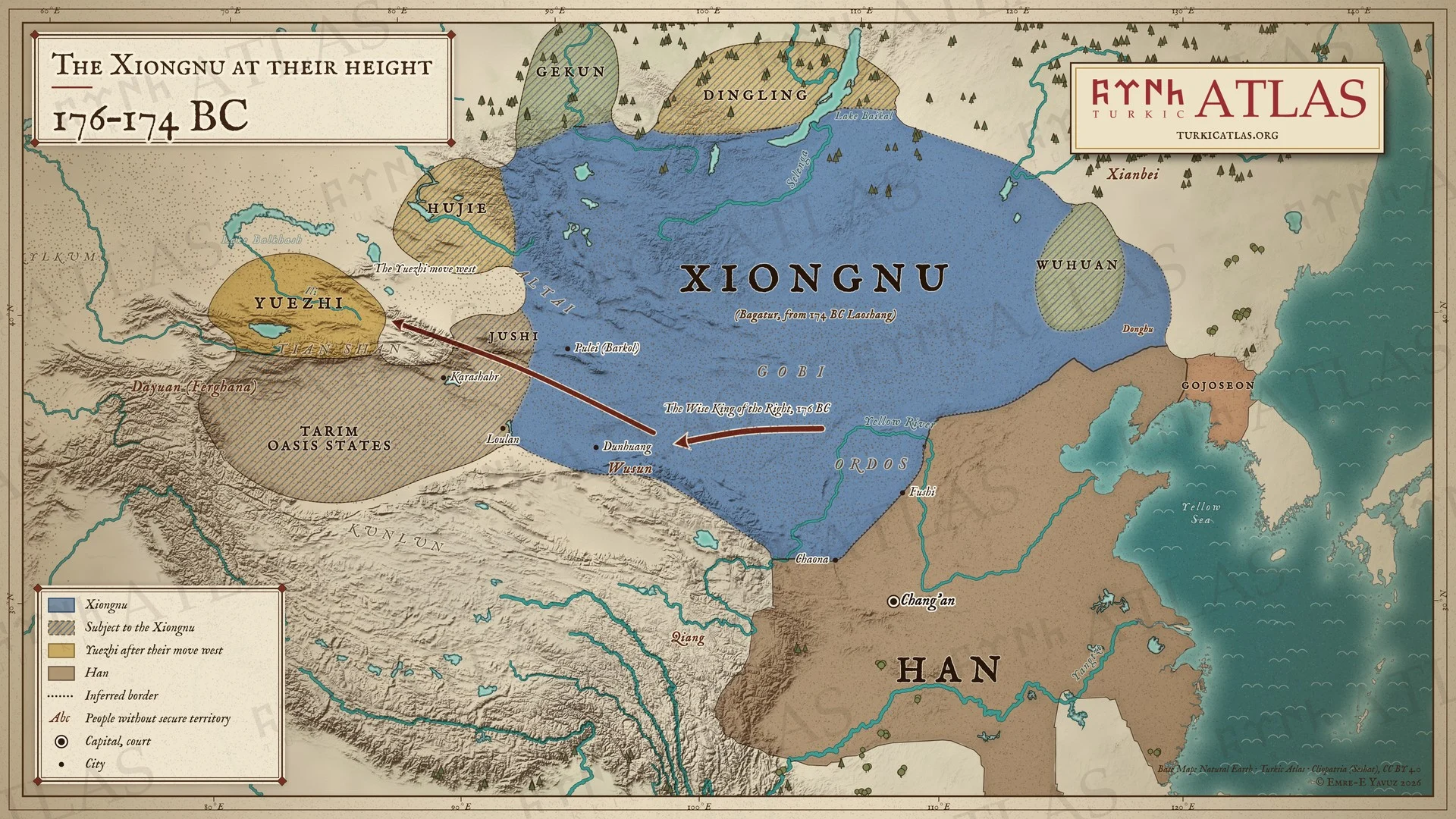
Los xiongnu en su apogeo
176–174 a. C.
 © Emre-E Yavuz 2026
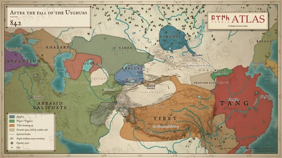
176–174 a. C.: en una carta de 176 a. C., Bagatur (Modu Chanyu) comunica a la corte Han que el Rey Sabio de la Derecha ha destruido a los yuezhi y que Loulan, los wusun, los hujie y veintiséis estados vecinos se han hecho todos xiongnu. Los yuezhi se marchan al oeste, hasta el Ili. En 174 a. C. muere Bagatur y le sucede su hijo Laoshang. Mapa moderno; ninguna fuente describe el borde norte del reino, y las fronteras en la estepa son aproximadas.
Con las flechas del teclado pasas de una lámina a otra.
Artículos con este mapa
Años
Lámina III · Los xiongnu en su apogeo 176–174 a. C.
Arrastra para mover. Con la rueda, dos dedos o un doble clic acercas y alejas.
-
 I
-
 II
-
 III
-
 IV
-
 V
-
 VI
-
 VII
-
 VIII
-
 IX
-
 X
-
 XI
-
 XII
-
 XIII
-
 XIV
-
 XV
-
 XVI
-
 XVII
-
 XVIII
-
 XIX
-
 XX
-
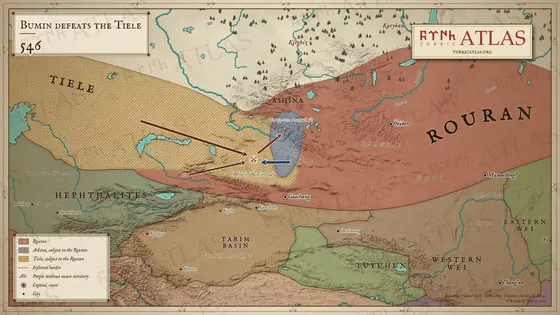 XXI
-
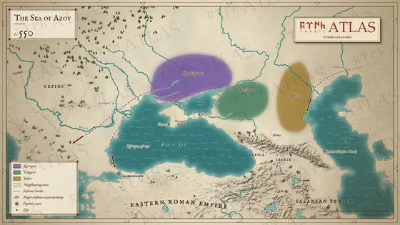 XXII
-
 XXIII
-
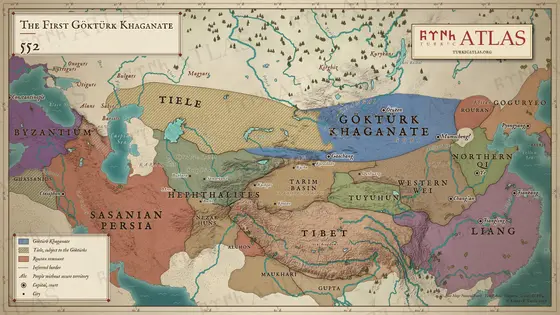 XXIV
-
 XXV
-
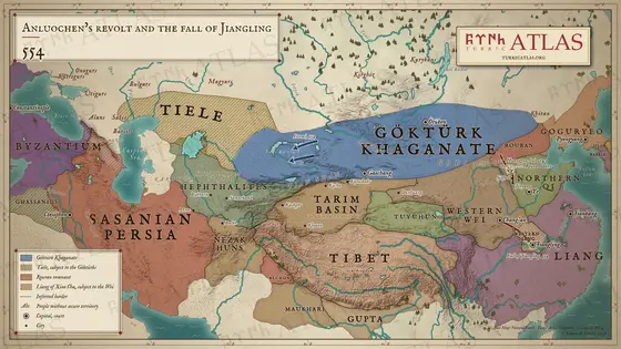 XXVI
-
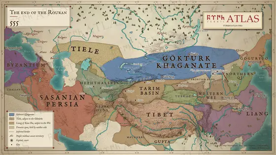 XXVII
-
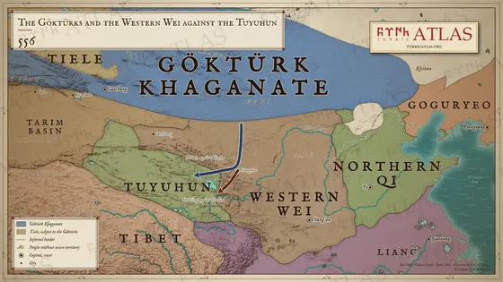 XXVIII
-
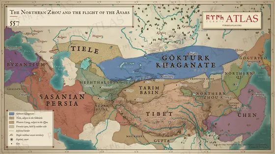 XXIX
-
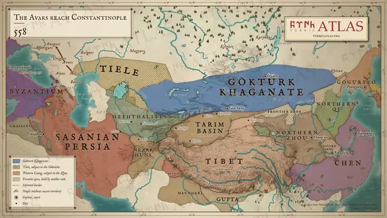 XXX
-
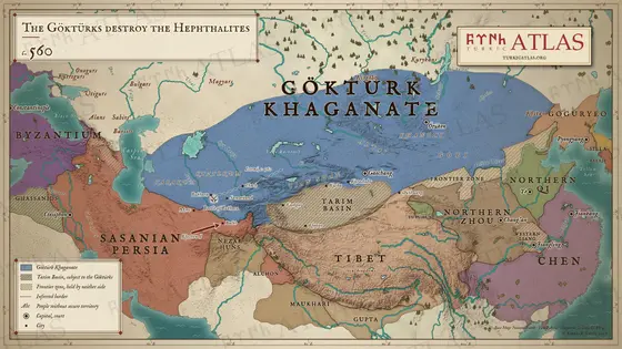 XXXI
-
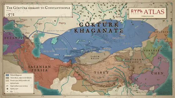 XXXII
-
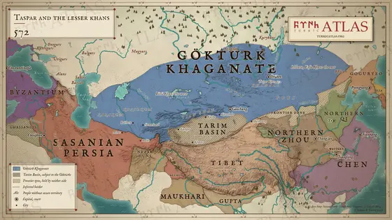 XXXIII
-
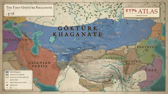 XXXIV
-
 XXXV
-
 XXXVI
-
 XXXVII
-
 XXXVIII
-
 XXXIX
-
 XL
-
 XLI
-
 XLII
-
 XLIII
-
 XLIV
-
 XLV
-
 XLVI
-
 XLVII
-
 XLVIII
-
 XLIX
-
 L
-
 LI
-
 LII
-
 LIII
-
 LIV
-
 LV
-
 LVI
-
 LVII
-
 LVIII
-
 LIX
-
 LX
-
 LXI
-
 LXII
-
 LXIII
-
 LXIV
-
 LXV
-
 LXVI
-
 LXVII
-
 LXVIII

