
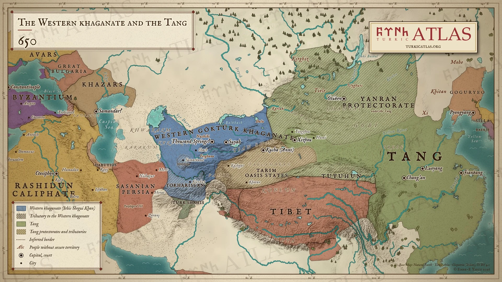
Quién gobernaba
Y más allá de la estepa
- China Tang Gaozong 649–683
- Irán Sasanian Yazdegerd III 632–651 · Rashidun Uthman 644–656
- Corea Goguryeo Bojang 642–668
- Bizancio Heraclian Constans II 641–668
Estepa oriental
-
Entorno · Pequeña Edad de Hielo de la Antigüedad Tardía: la fase fría que los anillos de los árboles del Altái delimitan de 536 a hacia 660 (536–660)
Climate and the steppe empires · First Göktürk Khaganate · Avars
La década más fría en el Altái es la de 540
-
Entorno · El lago Telmen está 4,8 metros por encima de su nivel actual, una fase húmeda antes de la desecación que sigue (600–700)
China
-
Economía · La caballería Tang pasa de cinco mil caballos a más de setecientos mil, suministrados por los göktürk (618–650)
Cáucaso y Crimea
-
Los jázaros surgen a la cabeza de la estepa occidental después de los göktürk; en la década de 670 ya han vencido a los búlgaros

