
- 400
- 500
- 600
- 700
- 800
- 900
- Rouran 400–554
- First Göktürk 552–630
- Tang rule 630–682
- Second Göktürk 682–744
- Uyghur 744–840
- Kirghiz 840–924
- Huns 370–469
- Western Göktürk 552–659
- Türgesh 699–766
- Karluk 766–800
- Khazar 650–969
The Altai is a mountain system some two thousand kilometres long, lying where Russia, Kazakhstan, Mongolia and China meet. It is the place where the Chinese histories put the Ashina when they first had occasion to write about them. What the mountains are decided what the Ashina could become there: ore, water, forest and cold.[1]
Geography
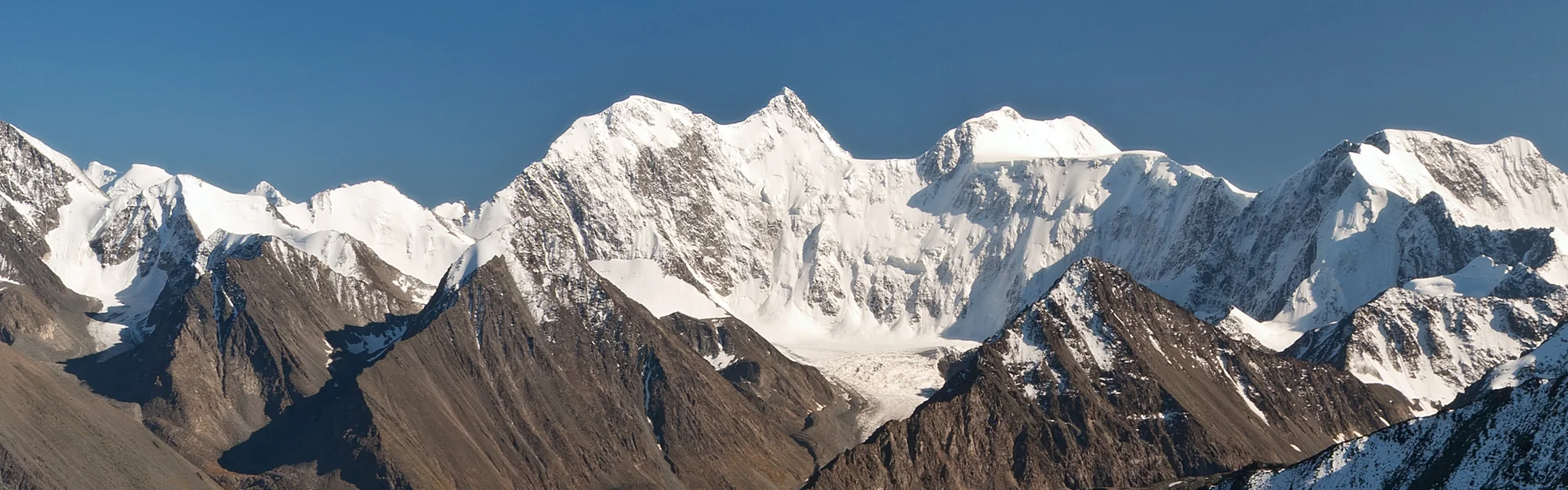
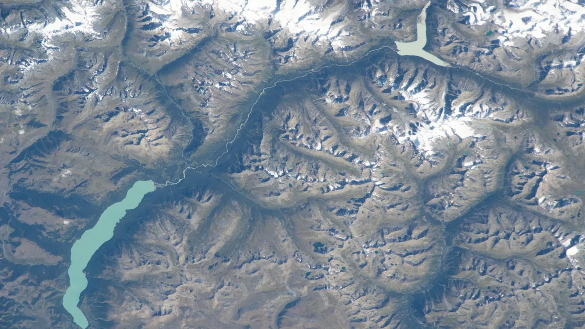
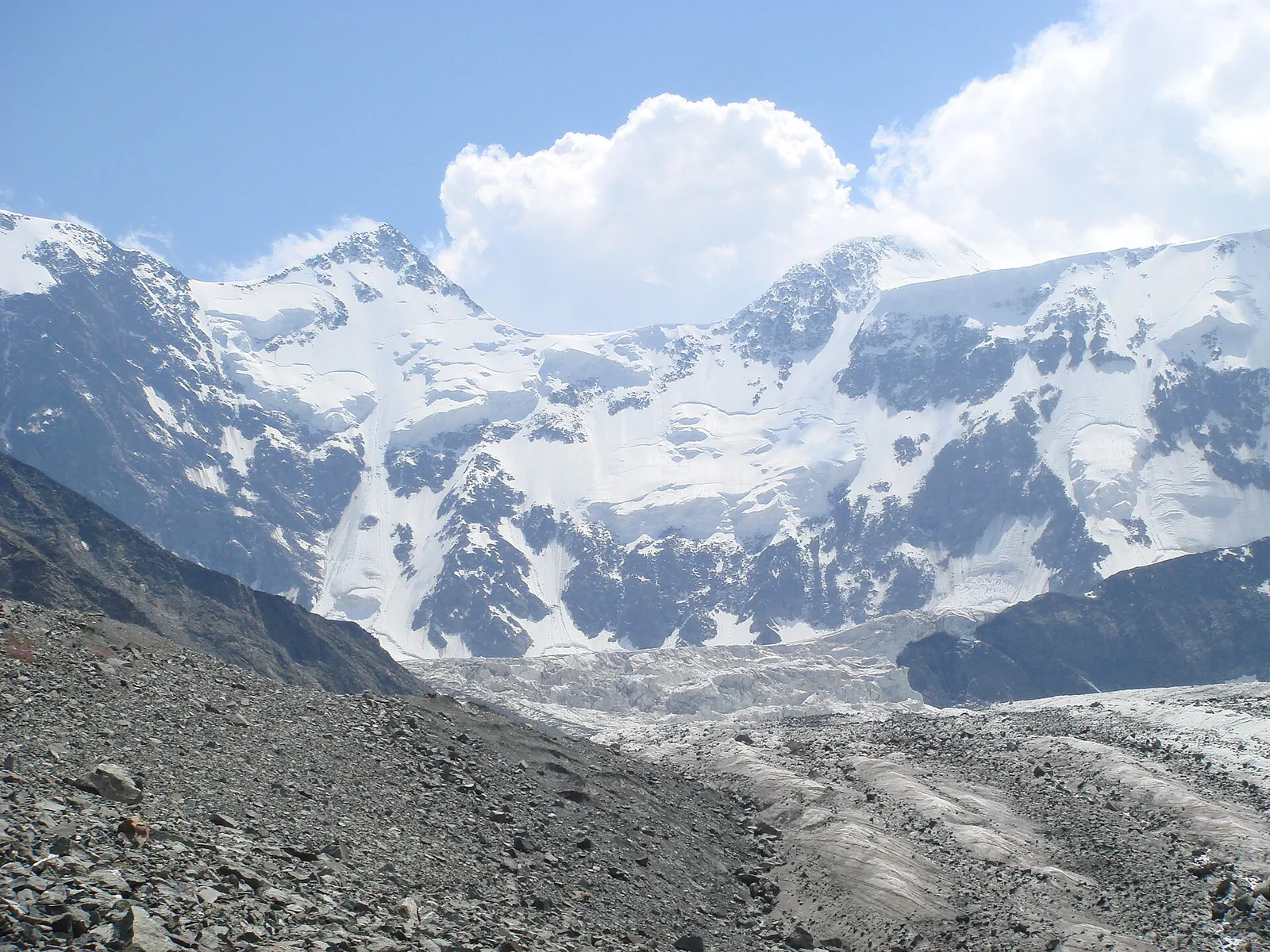
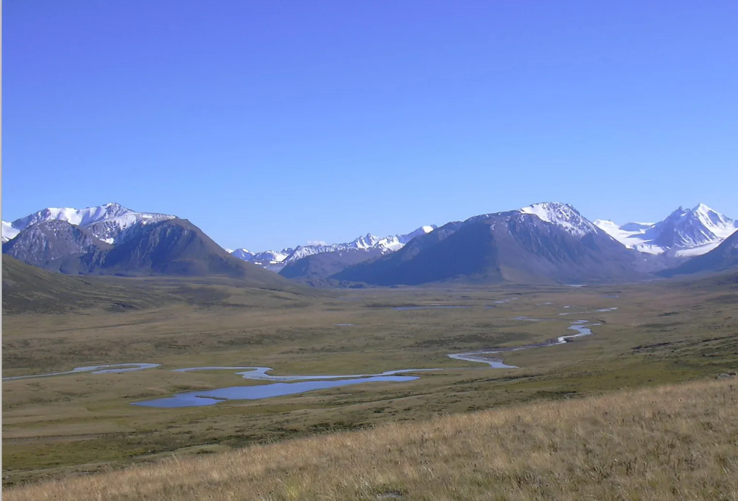
The range runs north-west to south-east from the West Siberian plain to the Gobi. It separates two different worlds. North and west of it lie the Siberian forest and the Kazakh steppe. South and east of it lie Dzungaria and the desert. The highest point is Belukha, at 4 506 metres, in the Katun range.
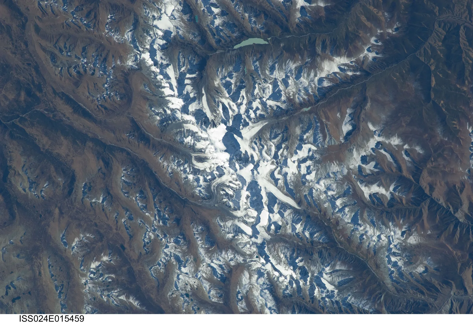
Three of the great Siberian rivers begin here or are fed from here. The Katun and the Biya join to form the Ob. The Bukhtarma and other Altai streams feed the Irtysh. The Yenisei’s headwaters rise on the eastern flank in what is now Tuva. A range that feeds three river systems draining to the Arctic is, in a dry continent, a reservoir. It is also the reason a people could live in the mountains rather than merely cross them.
Geology and ore
The Altai is an old range that has been uplifted twice. Its rocks were folded in the Caledonian and Hercynian orogenies of the Palaeozoic and worn down over the following two hundred million years. They were then lifted again, and they are still being lifted, by the stresses transmitted north from the collision of India with Asia. The steep relief, the earthquakes and the deep valleys are the consequence of that second uplift acting on old, hard rock.
The last ice age left its own marks on top of that structure. Glaciers filled the high valleys. Where a glacier blocked a river, the water backed up behind it into a lake. When the ice gave way, the lake drained through a channel cut across the ridge. Channels of this kind can still be seen on the high plateaus of the southern Altai.
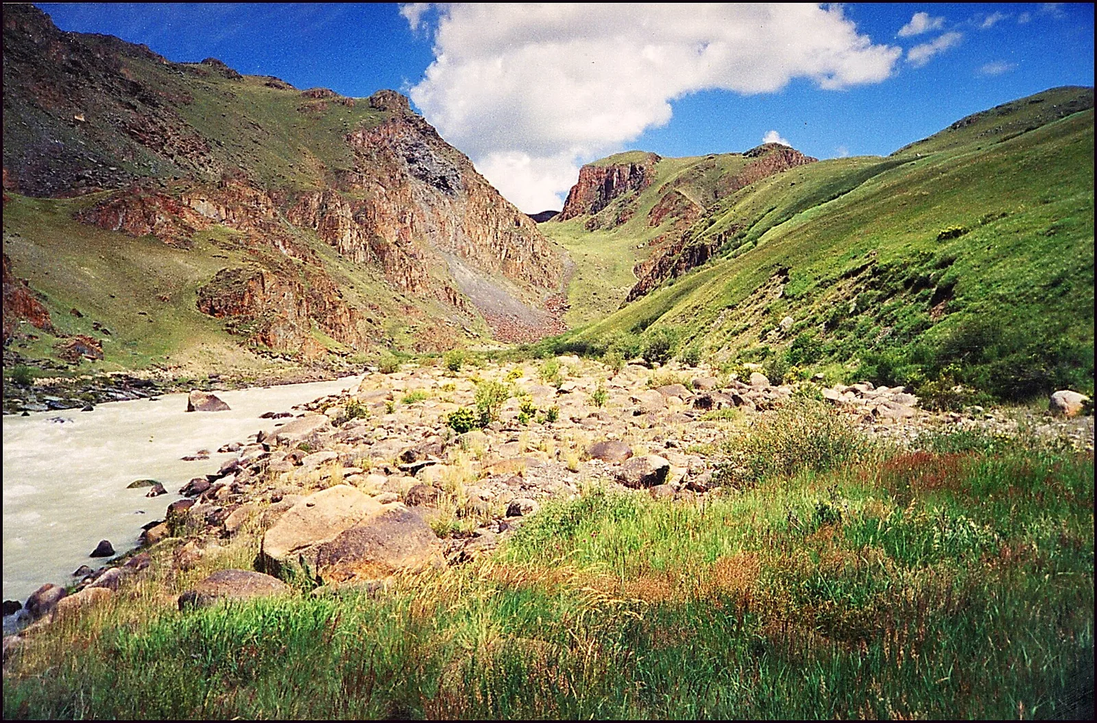
For the history of the Göktürks the important consequence is metal. The folding and the intrusions that came with it left the Altai one of the richest ore provinces in inner Asia: copper, tin, gold, polymetallic sulphides, and iron in quantity and at accessible depth. The name itself is commonly derived from a word for gold. That derivation is argued, and it is not the reason the mountains mattered.
Iron was the decisive resource. The Zhou Shu says the Ashina lived on the southern slope of the Golden Mountain and worked iron for the Rouran. The Sui Shu says they were skilled at ironwork.[1] A subject people that holds the ore and the smithies of its overlord holds something the overlord cannot quickly replace. The Ashina rising of 552 reads as beginning from that position rather than from numbers.
Climate
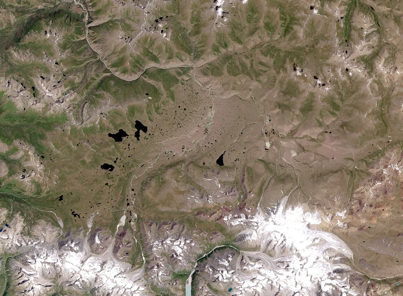
The Altai sits in the middle of the largest landmass on earth. Its climate is sharply continental: long hard winters, short warm summers, and a range between January and July that is among the widest anywhere. What makes it habitable is that the mountains catch water. Westerly airstreams that have crossed two thousand kilometres of dry steppe are forced up the windward slopes and drop their moisture there. As a result, forest grows in the Altai while the country on either side is steppe and desert. It follows that the range holds water in a dry belt. That is its significance for people and animals alike.
Two consequences follow for the history of the steppe.
The first is the record kept by the trees. Siberian larch growing at the upper timber line adds a ring each year whose width records that summer’s warmth. Altai larch is one of the longest and best-dated such records in Eurasia.[2] It is from these rings, together with Alpine ones, that the cold interval now called the Late Antique Little Ice Age was defined. It was a cooling from 536 to about 660, following volcanic eruptions in 536, 540 and 547.[2] That interval covers the collapse of the Rouran and the founding of the khaganate exactly. Turkic Atlas sets out what it does and does not explain under climate.
The second is the frozen ground. High Altai basins carry permafrost, and permafrost does not let organic material decay. That is why the Pazyryk barrows of the fifth to third centuries BC gave up felt, textiles, carpets, wooden saddles, horses with their harness and a tattooed human body. This material has rotted away everywhere else in the steppe. For a period with few written sources, a climate that preserves what people made is evidence of the first importance.
Animals
The fauna of the Altai is arranged by altitude rather than by latitude. Argali sheep and Siberian ibex hold the rock and the high meadow. The snow leopard follows them. Maral deer, elk, wolf, bear and sable belong to the forest belt. The steppe species reach up the valleys from below.
One of these animals matters here for a reason unconnected with zoology. The Siberian ibex, with its heavy backswept horns, is the animal of the tamga cut on the Kül Tegin stele. It is understood as the dynastic mark of the Ashina. A house that spent generations on the southern slope of these mountains took as its sign the animal that lives on their cliffs. Whatever else the mark means, its animal comes from their own surroundings.
The horse matters in a different way. Altai pasture rises in belts, so a herd can be moved up as the season warms and down as it cools without leaving the valley. This is a shorter and safer transhumance than the long migrations of the open steppe, and it supports more animals on less ground. A smith people that also kept horses on that pattern had both the metal and the mobility. This is an unusual combination and is most of the explanation for what happened after 552.
People in the Altai
The oldest human presence in the range is not human in the modern sense. Denisova cave, in the northern Altai, has yielded the remains of a population that was known from its DNA before it was known from its bones. They lay in the same sequence of deposits as Neanderthal and modern human material. No other site anywhere has produced all three together.
From the Bronze Age onward the range was continuously occupied. The Afanasievo culture appears from about 3000 BC, and the Karasuk follows it. After them come the barrows of the Scythian period, of which Pazyryk is the best known. The Pazyryk material is the single richest body of evidence for steppe life before the written sources begin. It exists only because the permafrost kept it.
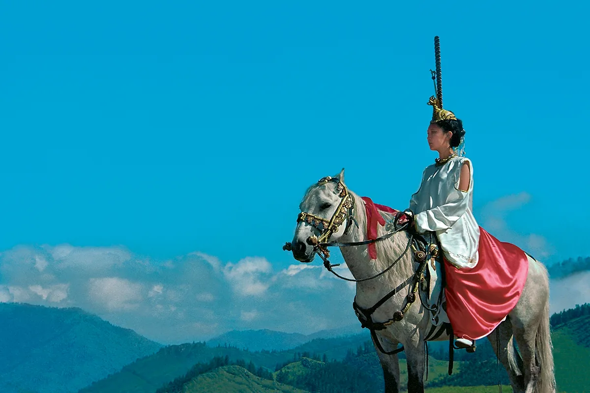
The empires then passed over the range in turn. The Xiongnu reached the Altai. The Chinese record their defeat in the region during the campaigns of 89 to 91. The Rouran later held it as an outlying province. Subject peoples worked it for them.[1]
The Ashina were among those subjects. The Zhou Shu says that after some generations they came out of the cave and submitted to the Rouran. They settled on the southern slope of the Golden Mountain, where they made iron for their overlords.[1] The Sui Shu tells it differently. According to it, the Ashina fled from the Wei to the Rouran with five hundred families. They lived on the Golden Mountain and worked iron.[3] From that slope Bumin acted in 546.[1] He intercepted the Tiele and took fifty thousand tents. Then he asked Anagui, the Rouran khan, for a marriage. Anagui called him a blacksmith slave. Bumin marched.[1]
After the founding of the khaganate the range became a border. When the state divided, the Altai lay between its two halves. The Sui Shu describes the western khaganate as holding off Dujin in the east while crossing the Golden Mountain in the west. It counts the peoples south-west of the mountain, the Xueyantuo among them, separately from those beyond it.[3] In the Tonyukuk inscription the Golden Forest is ground that an army crosses, and the inscription thinks the crossing worth recording.[4]
The last people in this sequence are the Kirghiz, whose country lay beyond the Kögmen to the north-east. The road into it was the one that Kapgan’s army took in winter. The army went by a pass that was believed to be impassable in snow.[5]
Runiform inscriptions
The Altai is also a country of runiform inscriptions.[6] By 2012, expeditions had recorded about ninety of them in the Altai Republic.[7] A count that includes the finds of 2012 gives 101.[6] The first was reported in 1819 from the Chaarys river.[6] Most are cut into rock.[6] The texts are mostly short, and many are damaged.[7] Road building has harmed some of the rock faces.[8] Bichiktu-Boom, Kalbak-Tash, Tuekta, Möndür-Sokkon, Kosh-Agach and Karban are named as centres of the script in the Altai.[9] Turkic Atlas sets out the corpus under the runiform inscriptions of the Altai.
At the rock shrine of Kalbak-Tash, on the Chuya road, the texts stand among rock drawings of animals.[10] Four short texts found there in 1991 were read by one of the two finders.[11] Three of them contain the cry esiz, “alas”.[12] One names a man, Bert Apa, for whom the writer wrote.[13] The reading gives no date.[14]
The stone of Jabogan is one of the longest and best preserved Altai texts.[15] It carries five lines on a split rock 57 centimetres long.[16] It was first seen in 1927 and has been in the republican museum since 2009.[17] Its letter forms are mostly those of the Yenisei.[18] Line 3 has been read as naming three horses by colour, each with a saddle of a different material.[19] The readings agree on a white horse with a gold saddle and a second horse with a silver one. They differ on the third saddle, which is bronze in one reading and juniper wood in another.[19] The first line is close to a text from Chiyin Tash in Kyrgyzstan, and the third line to one from Gurvan Mandal in Mongolia.[20] The reading of Irina Nevskaya gives the stone no date.[21] One reader places it in the ninth century because of the verb ending -gAy.[22] The same ending occurs in some Yenisei inscriptions, so it does not date the stone by itself.[23]
Kurgak I, near Kosh-Agach, is a single line of 85 signs cut on the north slope of Mount Kurgak, among drawings of a bear, a hunting dog, a deer, a hunter and a horseman.[6] Three readers have read it, and no two agree.[24] All three find the name Temir Apa, the address “my son” and a cry of regret.[24]
A few Altai texts show single signs of the South Yenisei alphabet, among them texts of Kosh-Agach and Kalbak-Tash.[25] The authors who note this say that it does not prove that the two alphabets were used together in one place.[25] The signs of the stones of Kyrgyzstan are closest to those of the Altai stones.[8] One reader therefore holds that the script came to the Tian Shan by way of the Altai.[8]
The four things the range supplied
In every period the Altai supplied the same four things. It supplied ore, which made the Ashina useful to their overlords and then dangerous to them. It supplied water, which made the range habitable in a dry belt. It supplied pasture stacked in belts, which fed more horses on a square kilometre than the plain could. It supplied cold as well, which killed people in the 540s and preserved the Pazyryk barrows for two and a half thousand years.
Resources of this kind do not determine a history. A people with iron, horses and grass can still be defeated. What the mountains gave the Ashina was a position from which a subject clan of smiths could become something else. In 552 it did.
References
- ^ a b c d e f Zhou Shu (Book of Zhou), juan 50
- ^ a b Büntgen 2016
- ^ a b Sui Shu (Book of Sui), juan 84
- ^ Tonyukuk inscription; Tekin 1968, p. 287
- ^ Tonyukuk inscription; Tekin 1968, p. 286
- ^ a b c d e Useev 2013, p. 102
- ^ a b Nevskaya 2012, p. 39–40
- ^ a b c Karaman Dezember 2021, p. 35
- ^ Nevskaya 2012, p. 41
- ^ Vasilyev 1993, p. 91
- ^ Vasilyev 1993, p. 91–92
- ^ Vasilyev 1993, p. 92–94
- ^ Vasilyev 1993, p. 93
- ^ Vasilyev 1993, p. 91–97
- ^ Nevskaya 2012, p. 43
- ^ Nevskaya 2012, p. 42–43; 106; Nurdin 2017, p. 42–43; 106
- ^ Nevskaya 2012, p. 41–43
- ^ Nevskaya 2012, p. 45
- ^ a b Nevskaya 2012, p. 45–46; 107; Nurdin 2017, p. 45–46; 107
- ^ Nevskaya 2012, p. 45–46; 108, 116–117; Nurdin 2017, p. 45–46; 108, 116–117
- ^ Nevskaya 2012, p. 39–48
- ^ Nurdin 2017, p. 121
- ^ Erdal 2004, p. 10
- ^ a b Useev 2013, p. 103–104
- ^ a b Kızlasov 1990, p. 129–130
Sources
- Zhou Shu (Book of Zhou), juan 50
- Sui Shu (Book of Sui), juan 84
- Bei Shi (History of the Northern Dynasties), juan 99 (after Wei Shu, Zhou Shu and Sui Shu)
- Tonyukuk inscription
Literature
- Emre-E. Yavuz, The Gokturk Empire: 2nd Edition (2025)
- Peter B. Golden, An Introduction to the History of the Turkic Peoples (1992)
- Ulf Büntgen; Vladimir S. Myglan; Fredrik Charpentier Ljungqvist; Michael McCormick; Nicola Di Cosmo et al., Cooling and societal change during the Late Antique Little Ice Age from 536 to around 660 AD (2016)
- Talât Tekin, A Grammar of Orkhon Turkic (1968)
- Marcel Erdal, A Grammar of Old Turkic (2004)
- Leonid R. Kızlasov; İgor L. Kızlasov, Sayan-Altay Türklerinin Yeni Runik Yazısı (1990)
- Dimitri D. Vasilyev, Dağlık Altaylardaki Kalbak-Taş Mabedinin Göktürk Yazıtları (A-47, 48, 49, 50) (1993)
- Irina Nevskaya, An Old Turkic Inscription Found in the Vicinity of the Village Jabogan of the Republic Altai: Its Paleographic Analisys and Reading (türkisch: Altay Cumhuriyeti Jabogan Kasabası Çevresinde Bulunan Eski Türkçe Bir Yazıt: Metin ve Paleografik İnceleme) (2012)
- Nurdin Useev, Altay Cumhuriyeti Yazıtlarından A 78 (Kurgak I) Yazıtı ya da Eski Türklerde Kurbanlık Yazısı (2013)
- Useev, Nurdin, Altay Yazıtlarından Yabogan (A 84) Yazıtı ve Köktürkçe Vefeyat, At Tasviri Formülleri (2017)
- Ahmet Karaman, Dağlık Altay Yazıtlarında İleri Ögeler (Dezember 2021)
What links here48
- Persons
- Anagui · Baghatur Khan · Bumin Khan · Gao Kan · Nadulu Shad · Niri Khan · Nishu Bagha Shad · Si Yabgu Khan · Tuwu
- States
- First Göktürk Khaganate · Suo
- Conflicts
- Rouran Domination of the Turkic Peoples · The Rouran–Wei wars, 402–449 · The Turkic War of Independence
- Battles & Events
- Battle of the Iron Mountain (630) · Defeat of the Tiele, 546 · Murder of Tong Yabgu (630) · Submission of Ishbara (585) · The embassy of Zemarchos, 569 · The Flight of the Ashina (439)
- Places
- Berel · Dzungaria · Ikar · Iron Mountain · Kögmen · Sanmi Mountain · Xihai
- Lineages
- Ashina
- Institutions and Titles
- Bloomery Furnaces of the South Altai · Göktürk Ironworking · Raw Materials and Trade among the Turkic Peoples · Salt among the Turkic Peoples · The Economy of the Steppe Empires · Toy
- Religions
- Animism · Horse Sacrifice · Iye · Sacred Mountains · Shamanism · Stone Figures
Cite this article
Yavuz, Emre-E. “Altai.” Turkic Atlas, revised 8 November 2026. https://turkicatlas.org/places/altai/
Last revised: 8 November 2026




